2006-09-06 (17 photos!)
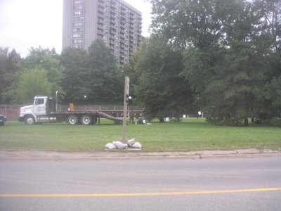
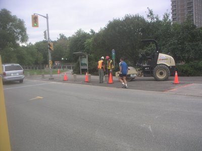
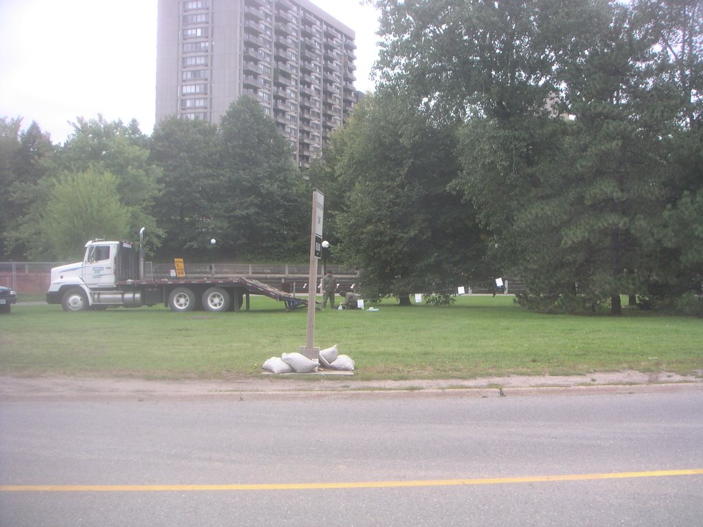
There was significant progress on the West approach, so I took a lot of photos today. This truck, just north of the East staging area, had something happening, but I think it was unrelated to the bridge. (NE looking NW)
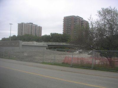
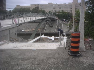
 Here's the bridge from the northeast (NE looking SW)
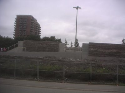
 And straight on from the east. Note that they have removed the last of that graffiti. Also note the funky light fixture. (E looking W)
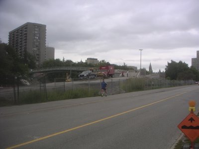
 Its functionality hadn't occurred to me until now, but that little stairway just on this side of the light standard will save a lot of time for pedestrians who don't want to go all the way around the jog in the ramp (which was necessary to get a reasonable grade). Speaking of reasonable grades, you'll also note that there are level areas along the long ramp. This was designed for wheelchair users. (SE looking NW)
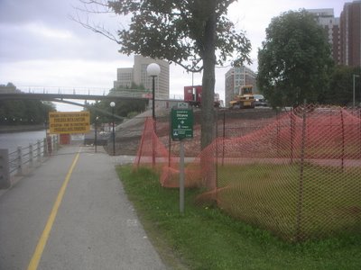
 Here's the end of the approach, at the crosswalk to go under Campus bus station. They've dug up all of the pavers, and it looks like they'll be paving it over with asphalt. Not a bad idea, if you've ever seen the condition the pavers are in on the other side! (E looking SE)
 A view from the south. Note that the NCC's sign here calls it "Ottawa University" in English. That place is actually southwest; it's a private bible college in Kansas. On a completely unrelated note, though, the University of Ottawa is due East of this sign. (SE looking NE)
 Here is why I took all these photos. The West approach: notice something missing? The fences are all gone. You can go right up to where the approach meets the span!
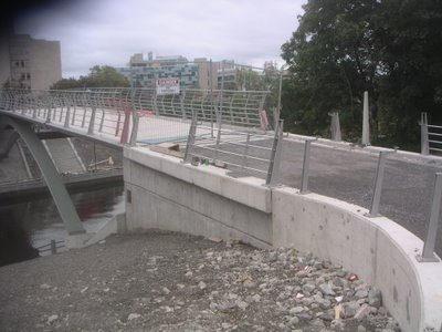
 It's obvious that this is not new, but I just noticed from this angle the height of the new sidewalk, compared to the stuff it's containing. (NW looking SW)
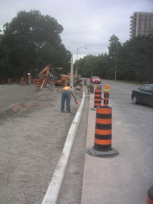
 This worker was measuring the height of the newly-poured curb. Shortly after this photo was taken, that loader behind him emptied some gravel which he spread out. (NW looking SW)
 Here is the north side of the West approach... (W looking NW)
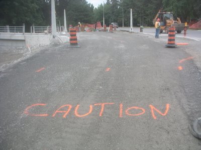
 ...and in the opposite direction. Councillor Legendre, if you're watching, that "caution" is sprayed only in English! We've all seen Canadian Bacon! (NW looking W)
 A closer view of the West approach. There's a nice wide area for those who want to continue south (or north...) (NW looking S)
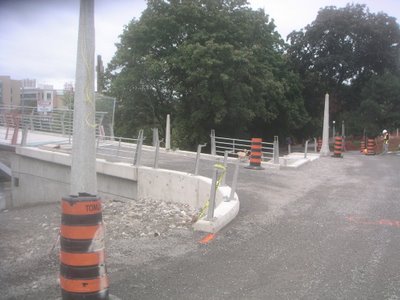 And yet another closer view. There are the fences. As you can see, there is still a lower banister which needs to be attached. (NW looking SE)
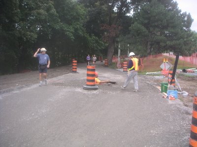
 Last night, there was a steamroller where I am standing here. (SW looking E)
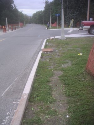
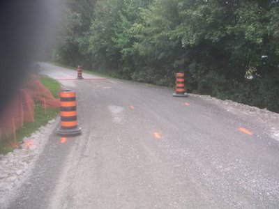
 Ever wondered why manhole covers are round? Because manholes are round! Because there are significant drainage pipes going through this area, I suppose the felt it necessary to put access holes in there. Luckily they're along the centreline of the pathway, so people won't be likely to have to ride over it. I hope that they do a good job of levelling off the pavement. (W looking SW)
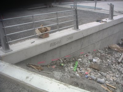
 Here is the stamp for the provincial bridge number: 018580-2005. Wait--2005?!?
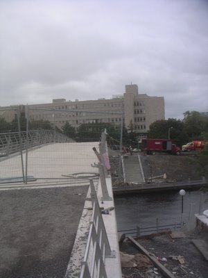
 If you look closely at this photo, you can see that the bannister isn't perfectly straight. This, I suppose, is like the errors you find in handmade Turkish (or Persian) rugs, to let you know that it was actually made by hand. Anyway, this is the last of the photos for today. But I'll continue to post regularly! (W looking E)
Copyright 2005-2006 Charles Akben-Marchand
 Here's the bridge from the northeast (NE looking SW)
 And straight on from the east. Note that they have removed the last of that graffiti. Also note the funky light fixture. (E looking W)
 Its functionality hadn't occurred to me until now, but that little stairway just on this side of the light standard will save a lot of time for pedestrians who don't want to go all the way around the jog in the ramp (which was necessary to get a reasonable grade). Speaking of reasonable grades, you'll also note that there are level areas along the long ramp. This was designed for wheelchair users. (SE looking NW)
 Here's the end of the approach, at the crosswalk to go under Campus bus station. They've dug up all of the pavers, and it looks like they'll be paving it over with asphalt. Not a bad idea, if you've ever seen the condition the pavers are in on the other side! (E looking SE)
 A view from the south. Note that the NCC's sign here calls it "Ottawa University" in English. That place is actually southwest; it's a private bible college in Kansas. On a completely unrelated note, though, the University of Ottawa is due East of this sign. (SE looking NE)
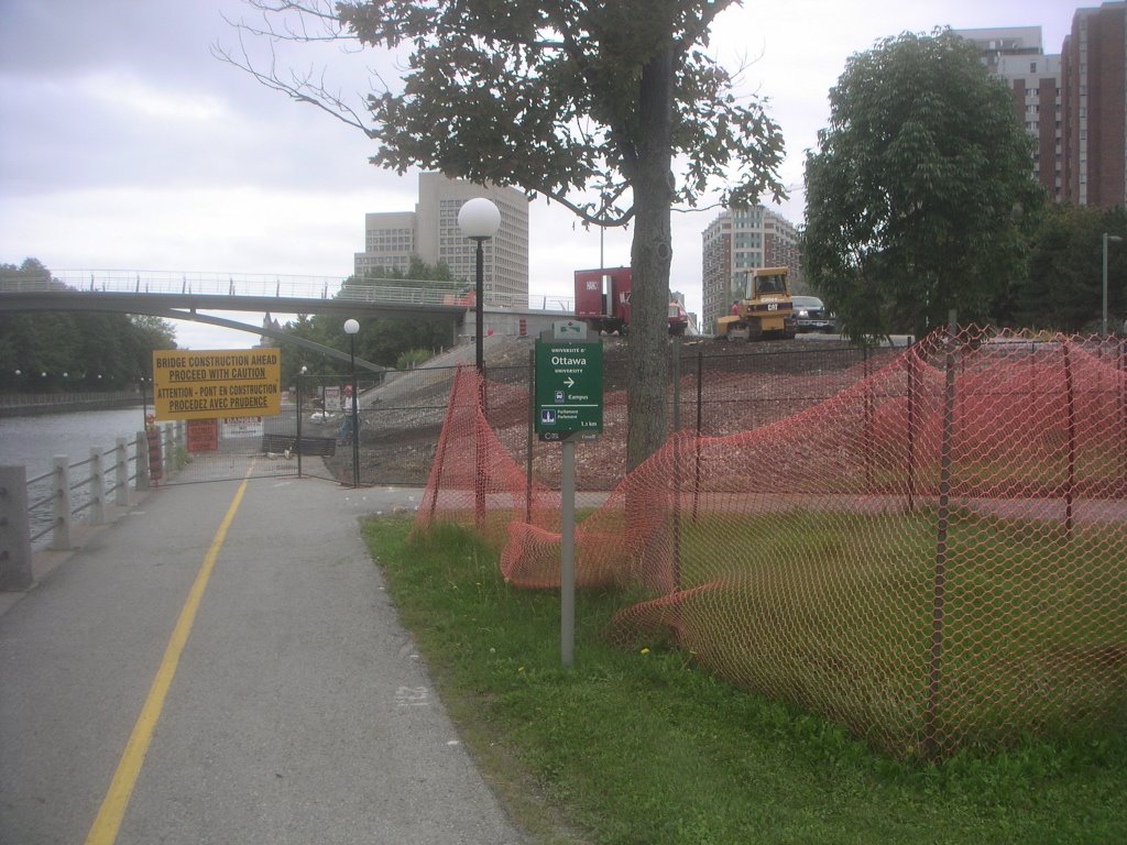 Here is why I took all these photos. The West approach: notice something missing? The fences are all gone. You can go right up to where the approach meets the span!
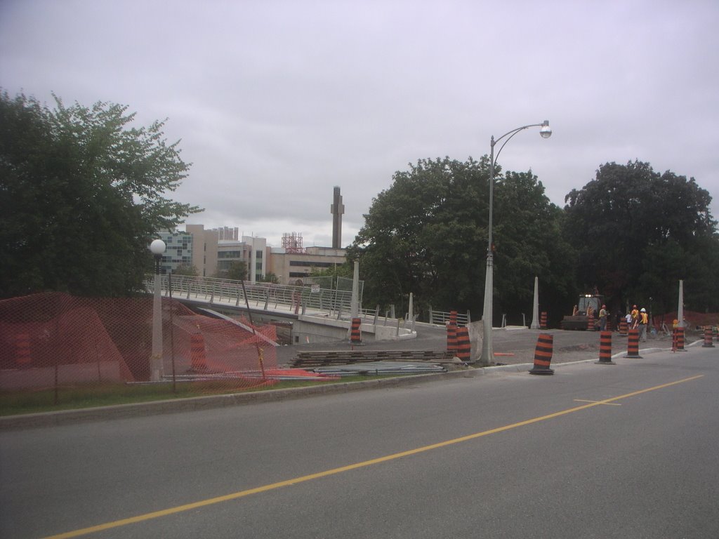 It's obvious that this is not new, but I just noticed from this angle the height of the new sidewalk, compared to the stuff it's containing. (NW looking SW)
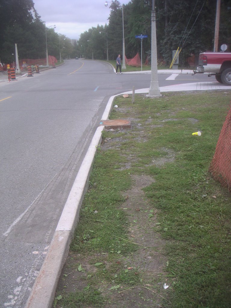 This worker was measuring the height of the newly-poured curb. Shortly after this photo was taken, that loader behind him emptied some gravel which he spread out. (NW looking SW)
 Here is the north side of the West approach... (W looking NW)
 ...and in the opposite direction. Councillor Legendre, if you're watching, that "caution" is sprayed only in English! We've all seen Canadian Bacon! (NW looking W)
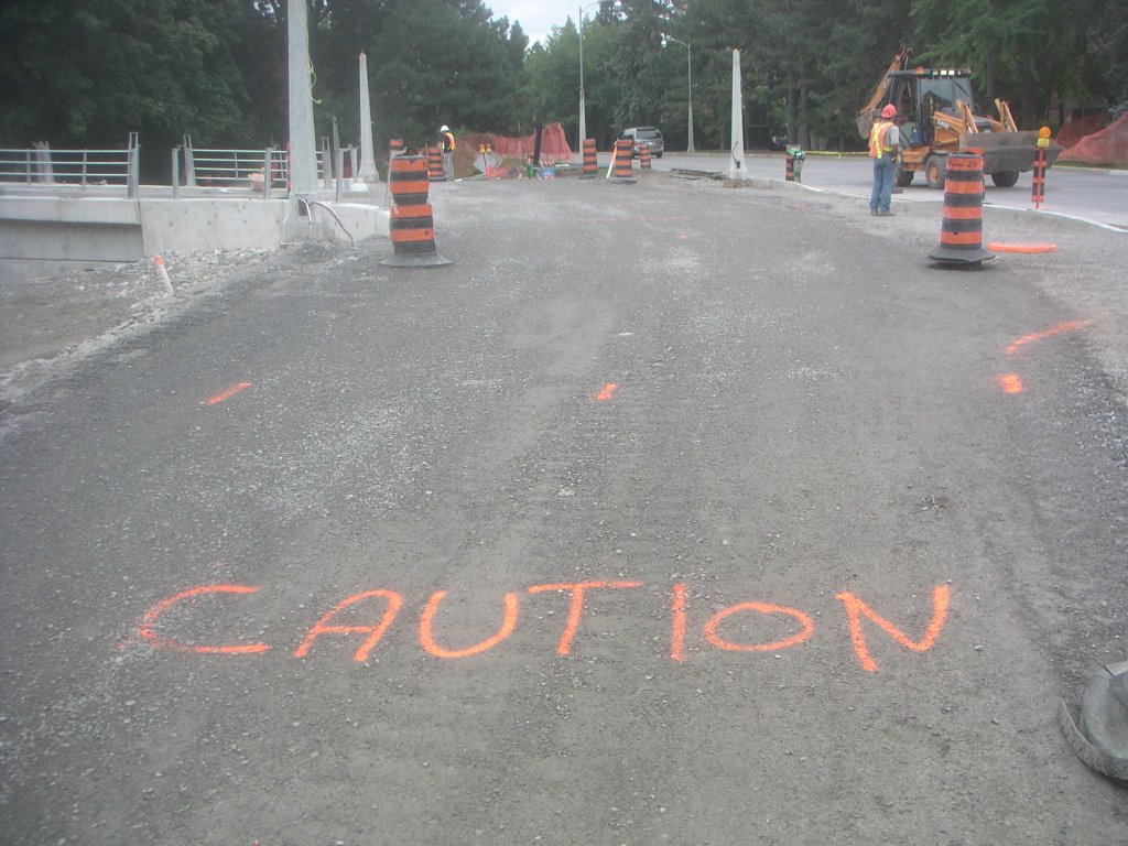 A closer view of the West approach. There's a nice wide area for those who want to continue south (or north...) (NW looking S)
 And yet another closer view. There are the fences. As you can see, there is still a lower banister which needs to be attached. (NW looking SE)
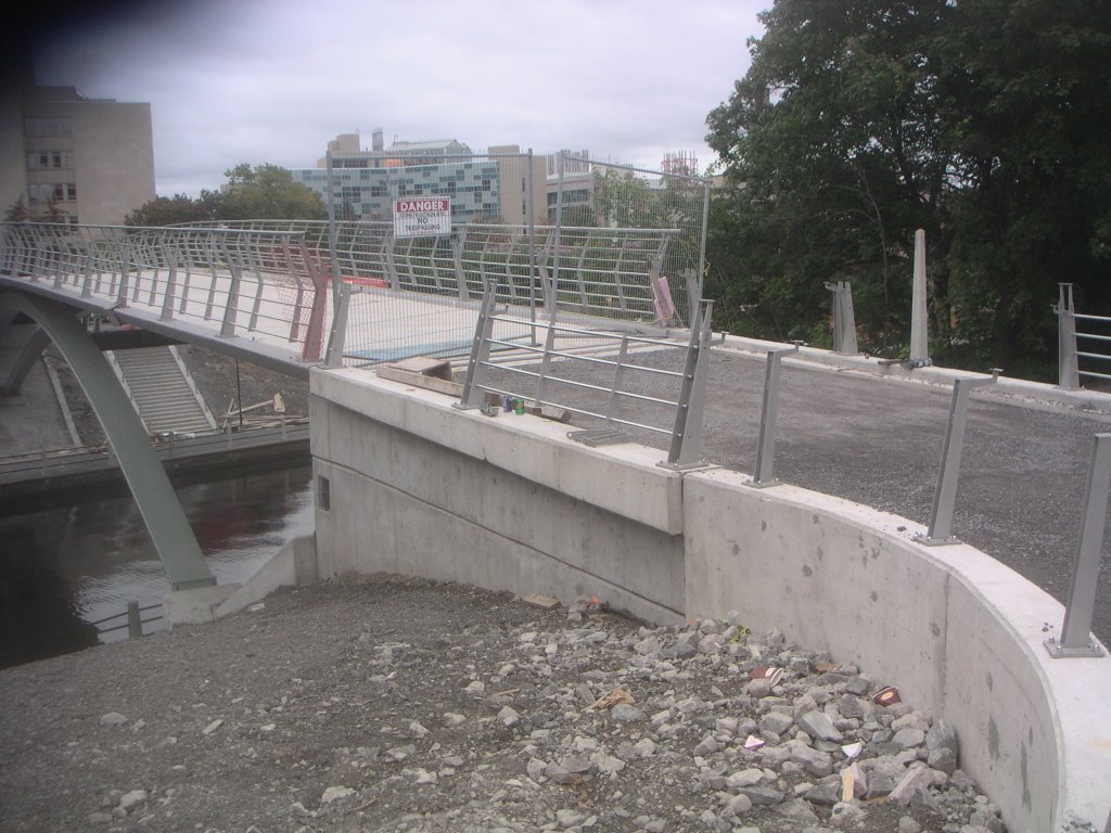 Last night, there was a steamroller where I am standing here. (SW looking E)
 Ever wondered why manhole covers are round? Because manholes are round! Because there are significant drainage pipes going through this area, I suppose the felt it necessary to put access holes in there. Luckily they're along the centreline of the pathway, so people won't be likely to have to ride over it. I hope that they do a good job of levelling off the pavement. (W looking SW)
 Here is the stamp for the provincial bridge number: 018580-2005. Wait--2005?!?
 If you look closely at this photo, you can see that the bannister isn't perfectly straight. This, I suppose, is like the errors you find in handmade Turkish (or Persian) rugs, to let you know that it was actually made by hand. Anyway, this is the last of the photos for today. But I'll continue to post regularly! (W looking E)
posted @ 23:58
![]()

0 Comments:
Post a Comment
<< Home